
From GPS collars and citizen science to drones and predictive risk maps, technology is playing an increasingly influential role in making Europe a wilder place.


Game-changing solutions
For those involved in conservation, the whirlwind pace of technological development is an exciting proposition. Today, the growing mobility, affordability and connectivity of tools for data collection and analysis – from DNA sequencers and wildlife cameras to GPS collars and photo sharing apps – is revolutionising how we research, monitor and restore our natural environment. Across Rewilding Europe’s operational areas, technological solutions are already proving invaluable to rewilding teams and leading to better rewilding outcomes.
Early warning system

As featured in the episode “Return of the Titans” of TV series Europe’s New Wild, Rewilding Europe and WWF Romania have been reintroducing European bison into the Southern Carpathians of Romania since 2014. The use of GPS collars is making this task far easier, aiding the local rewilding team in their efforts to keep relations between local communities and bison harmonious, as well as saving time and money and enabling the collection of valuable monitoring data.
The GPS collars fitted to five bison reintroduced in 2019 are equipped with a useful tool called Virtual Fence, which allows the rewilding team to customise the way data is collected. Whenever the collar sends a GPS signal, it checks the location of the animal. This information is not only stored in the collar memory but can also trigger a warning signal if an animal moves into a pre-defined area.
Monitoring hungry bison
The Virtual Fence tool is especially useful in the winter when harsh weather sometimes forces hungry bison to lower elevations in the rewilding area. To avoid problems with local villagers, it is critical to keep the animals away from human sources of food, such as haystacks.
“We received alerts from the collars quite regularly over the winter, but didn’t have to intervene because the bison moved away (from the food sources) of their own accord,” says bison ranger Matei Miculescu. “In this way, technology is not only helping us to keep track of the animals but saves us from having to go out in the field unnecessarily.”
Clued up conservation
Keeping track of the location of wildlife species was the focus of another tech-focused project in 2019 – this time in the Central Apennines rewilding area in Italy. Kicking off in October, a four-month pilot collaboration with Amsterdam-based non-profit Sensing Clues saw the local rewilding team collect data in the field to determine whether there were suitable opportunities to generate “risk maps”.
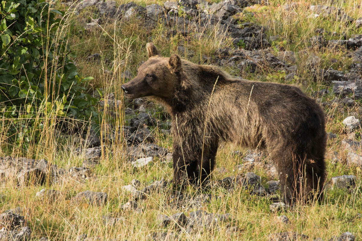
Generated by algorithms, risk maps are designed to give a clearer picture of when a conservation-related incident is likely to occur. This could be anything from poaching to an outbreak of wildfire to the movement of an animal through a wildlife corridor. Such a predictive system would allow the Central Apennines rewilding team to aid the area’s Marsican brown bear population more effectively, and generally, be more proactive in their work on the ground.
Empowering people
Technology is not only useful for allowing people to live alongside wildlife in a problem-free and beneficial way. Over the last few years, the development and distribution of digital technology has empowered productive collaboration between volunteer non-scientists and professionals. With the introduction of portable technologies such as GPS and image processing citizens are allowed to collect and share environmental data with little more than a smartphone. This has made a significant contribution to our understanding of the natural world.
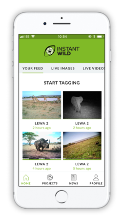
An ongoing research partnership between the Zoological Society of London and Rewilding Europe demonstrates the burgeoning digital citizen science trend. Since August 2019, camera trap photos from the Central Apennines rewilding area has been fed into ZSL’s groundbreaking Instant Wild platform. This platform allows online wildlife enthusiasts to collectively identify animals they may contain.
The results of the Instant Wild animal tagging are captured in a database and periodically shared with participating conservation projects, enabling better conservation-related decision making. In this way, the data generated by the platform will have a beneficial impact on rewilding efforts.
Wildlife cameras or “camera traps” enable us to see and study animals and events that might otherwise go unseen. They are used to monitor wildlife in many of Rewilding Europe’s rewilding areas.
Improving results
European bison in the Southern Carpathians aren’t the only animals that local rewilding teams are monitoring through GPS technology. GPS collars and transmitters have also been fitted to griffon vultures in the Greater Côa Valley in northern Portugal, and griffon vultures, red deer and fallow deer in the Rhodope Mountains of Bulgaria. The data these devices are supplying is leading to a better understanding of animal behaviour and improving rewilding results.
The scaling up of rewilding in the Greater Côa Valley, which includes efforts to boost the connectivity of the Portuguese wolf sub-population south of the Douro River, also saw technological developments in 2019. Drones were employed for first time in a rewilding area to gather data on habitats and vegetation, while the establishment of a GIS database is enabling better decision making by aggregating all data related to the presence of wolves.
Future focus
Going forwards, the development and deployment of new technologies will continue to offer rewilders innovative and sometimes transformative solutions. The challenge will be selecting the best ones to use, ensuring they can work together, and getting them into the hands of those than can use them most effectively.
Want to know more?
Much of this blog was taken from a story in the Rewilding Europe Annual Review 2019 entitled “Transformative tech”. A PDF of the full story can be downloaded here.