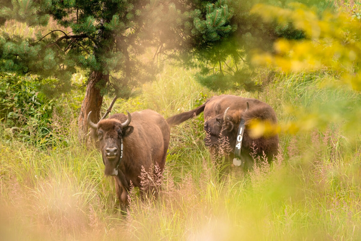
Technology is playing an increasingly vital role in conservation. During his recent internship with Rewilding Europe, Rohan Wadhwa used geospatial data to gain valuable insight into the movement of European bison in the Southern Carpathians rewilding area in Romania. We caught up with him to find out more.

The road to Rewilding Europe
There aren’t many students who make the switch from law to human-wildlife conflict management and geospatial modelling. But for Rohan Wadhwa, it opened the door to a rewarding internship with Rewilding Europe. An internship that then led to some fascinating and valuable discoveries.

But first, why the change of subject? And how did he arrive at Rewilding Europe?
“Although I studied law for five years, my heart wasn’t really in it,” says Rohan, who will graduate with a master’s degree in Forest and Nature Conservation from Wageningen University & Research in the Netherlands at the end of April 2021. “Having volunteered on several conservation projects in South America, I decided to change my career path and focus on nature. Having gained experience with GIS on my master’s degree, the opportunity to intern with Rewilding Europe came along at the perfect time.”
A Carpathian challenge
Rohan’s six-month internship, which ended in February 2021, saw him focus on the Southern Carpathians rewilding area in Romania, where Rewilding Europe and WWF Romania have been reintroducing European bison since 2014. Based in Wageningen, his objective was to work with the Rewilding Southern Carpathians team to evaluate the current home range of the bison, determine which factors influence optimum bison habitat, and explore possible new areas for recolonisation.
To begin, Rohan downloaded, formatted and harmonised data from GPS collars placed on bison released into the wild in the Țarcu Mountains (part of the Southern Carpathians rewilding area), close to the town of Armeniș in southwest Romania.
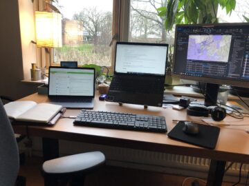
“This data, which has been collected since 2016, provided a unique insight into bison behaviour,” says Rohan. “At times it was challenging to spend such long hours at my desk when I really wanted to explore the rewilding area and see these magnificent animals first-hand. What kept me going was the excitement of making new discoveries and reaching my goal.”
Habitat Suitability Model showing the suitability of habitat for European bison in the Southern Carpathians, based on several environmental variables in relation to land cover.
Bovine behaviour
Rohan learned something new every day, reading papers on bison behaviour, searching for archival data about the rewilding area in order to analyse habitat, and piecing everything together to form a comprehensive picture.
Some of his most important discoveries were linked to the movement of the reintroduced bison. The animals were found to have a current home range of over 90 square kilometres – when compared with data from herds in Poland and Germany, this is a good sign that the bison are making good progress exploring the area. Rohan found that forest composition and the availability of water heavily influence how bison move through the area, with the animals preferring areas with broadleaf tree cover and nearby water sources.
“Based on Rohan’s findings, we believe that the reintroduced bison population in the Țarcu Mountains has explored the largest area of any reintroduced herd over the same four-year time period,” says Rewilding Southern Carpathians team leader Marina Drugă. “This may be a result of non-intensive management, which means we don’t feed the animals, although this would need to be confirmed by further research.”
Animation of the movement of 10 individual bison in the Southern Carpathians over the period of a year.
Enhancing future rewilding
Working on the ArcGIS platform, Rohan and the team used advanced modelling techniques to evaluate the home range of the bison and assess habitat suitability and forecasting. This not only allowed them to see the past and present, but also the future.
Using remote sensing (where satellite imagery is used to determine factors such as vegetation density, soil type, altitude and climate), the team were able to assess the impact the bison are having on vegetation and their preferred routes, as well as predict how the ecosystem will look in the near future. This information can then be used to see where new ecological corridors and rewilding areas might best be developed.
“This kind of habitat suitability modelling can also be used to inform decision making about potential future bison reintroduction sites,” explains Rohan. “There are, of course, other considerations to take into account, such as budgetary restrictions, land availability, the remoteness of the area and permission from local authorities.”
“Thanks to Rohan’s efforts we now have a better understanding of key factors such as how the reintroduced bison move and use habitats, and which kind of environments they prefer,” says Marina Drugă. “This will help us to make more informed decisions for the management of the free population and improve the reintroduction process.”
Home range analysis based on the occurence and movement of the bison.
Invaluable insight
The results of Rohan’s internship will not only support rewilding efforts in Romania, but other parts of Europe too. The insight gained through his work – based on real-world data, expert opinion and scientific literature – can be used to map areas in similar projects, helping rewilding teams to reduce costs and plan ahead.
The Rewilding Southern Carpathians team will now take Rohan’s work forward, using camera trap imagery and direct and indirect observation data to improve the model.
“The most rewarding aspect of this internship was that it gave me a unique insight into the lives of European bison,” says Rohan. “I hope my efforts can improve future rewilding efforts in some small way, and I am looking forward to seeing the little points on the map at real-world scale, in the wild, one day.”
